The Sahara is the largest hot desert in the world, stretching across much of North Africa. Popular images show endless golden dunes, but the real Sahara is far more varied and has a surprising history.
Key takeaways
- The Sahara covers roughly 9 million square kilometres, comparable to the area of the United States or China.
- Only a minority of it is sand dunes, while much is rock, gravel and mountains.
- It was much wetter and greener several thousand years ago.
- Life survives there in oases and among well-adapted plants and animals.
- Dust from the Sahara travels across the Atlantic and affects other ecosystems.
How big is it?
The Sahara stretches from the Atlantic coast in the west to the Red Sea in the east, and from the Mediterranean region in the north toward the Sahel in the south. It covers parts of around ten countries, including Algeria, Chad, Egypt, Libya, Mali, Mauritania, Morocco, Niger, Sudan and Tunisia. Exact figures vary depending on how its edges are defined, but it is roughly 9 million square kilometres. It is the largest hot desert, though Antarctica is a larger desert overall when cold deserts are included.
Not just sand
Sand seas, called ergs, include huge dunes, some hundreds of metres high, but they make up a minority of the area. Much of the Sahara is stony plain called reg, bare rock plateau called hamada, dry riverbeds called wadis and rugged mountains such as the Tibesti and Ahaggar ranges. The highest peak, Emi Koussi in Chad, rises above 3,400 metres.
A green Sahara
Rock paintings and archaeological sites show that parts of the Sahara were once home to lakes, grasslands and people who herded cattle. This wetter period, often called the African Humid Period, lasted from about 11,000 to 5,000 years ago and was driven by changes in Earth's orbit that altered the monsoon. As the climate dried, the vegetation retreated and the desert expanded, and populations moved toward the Nile and other water sources.
Climate
The Sahara is hot during the day and can be cold at night because dry air holds little heat. Rainfall is very low and unpredictable in many areas, and some places go years without rain. Daytime temperatures often exceed 40 degrees Celsius in summer, while winter nights can fall near freezing in some regions.
Life in the desert
Oases, where groundwater reaches the surface, support date palms and settlements. Animals such as the dromedary camel, fennec fox and various reptiles and insects are adapted to heat and dryness. The addax antelope and some other species are critically endangered. Nomadic peoples such as the Tuareg and others have long travelled the desert, using camel caravans to trade salt and goods.
Dust across the ocean
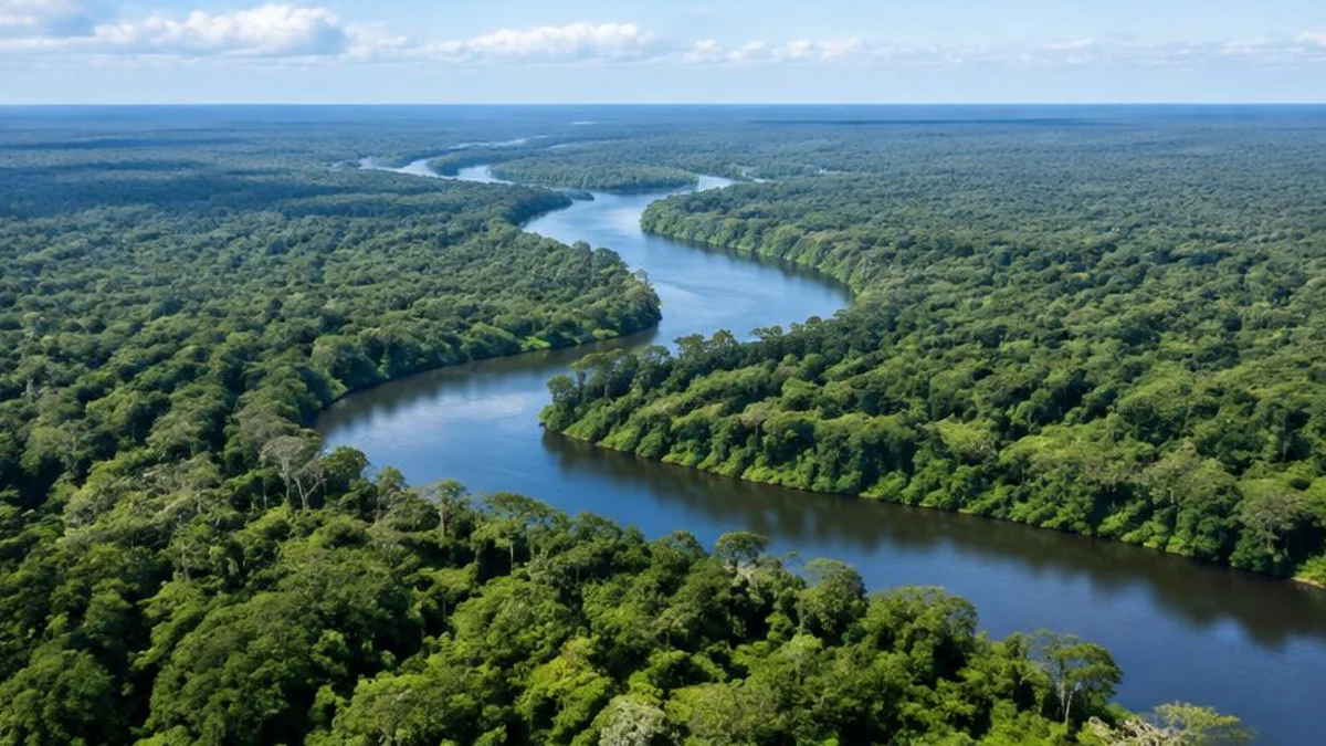
Winds lift huge amounts of fine dust from the Sahara and carry it across the Atlantic. Studies using satellite data suggest that this dust delivers nutrients such as phosphorus to the Amazon rainforest and affects ocean ecosystems and weather. The amounts vary greatly from year to year.
Water beneath the sand
Large underground aquifers lie beneath parts of the Sahara, containing water from wetter periods. Some are used for agriculture and drinking, but much of this water is ancient and not easily replaced.
Climate and weather extremes
The Sahara's climate is hot and dry, but it varies. Summer daytime temperatures commonly reach the low to mid forties degrees Celsius, and the highest reliable readings are somewhat above fifty degrees in the hottest places. Winter nights can be near freezing in the interior, and in the highest mountains snow occasionally falls. The Sahara has a very large daily temperature range because dry air and clear skies let heat escape quickly after sunset. Rain is rare and often arrives in sudden storms that cause flash floods in dry riverbeds. A hot, dust-laden wind called the harmattan blows across West Africa in winter.
Peoples and cultures
People have lived in and around the Sahara for thousands of years. Amazigh, or Berber, peoples have lived in North Africa since ancient times. The Tuareg, nomadic herders known for their indigo-dyed clothing, travel across the central and western Sahara. The Tebu live in the eastern Sahara, and Arab communities settled and spread across the region over many centuries. Trans-Saharan caravan routes carried salt, gold, cloth and enslaved people between North and West Africa, and cities such as Timbuktu and Agadez became centres of trade and learning.
Rock art and archaeology
Saharan rock art records a different past. Paintings and engravings at sites such as Tassili n'Ajjer in Algeria show cattle, giraffes, hunters and swimmers, evidence of when the region was wetter. At Gobero in Niger, archaeologists uncovered one of the largest known prehistoric cemeteries in the Sahara, with burials spanning thousands of years, including from times when lakes supported fishing communities. Fossils of dinosaurs, including large predators, have also been found in Saharan rocks, showing that the region has seen vast change.
Energy and development
The Sahara receives enormous amounts of sunshine, which has made it a focus of ideas for solar power. Projects have been proposed to export solar electricity from North Africa to Europe, and some large solar plants operate in Morocco and Egypt. Challenges include transmission costs, politics and dust. Another project is the Great Green Wall, an African-led initiative to restore degraded land across the Sahel, the belt south of the Sahara, with trees and other land restoration to fight desertification and support communities.
Wildlife and conservation
Saharan wildlife has adapted to heat and scarcity. The Saharan silver ant forages in the hottest part of the day, using reflective hairs and long legs to cope with heat. The addax antelope is critically endangered, and the dorcas gazelle and Saharan cheetah survive in small numbers. Protected areas such as the Air and Tenere reserve in Niger aim to conserve these species, although conflict, hunting and development threaten them.
Frequently asked questions
Is the Sahara growing?
Its edges fluctuate with rainfall. Studies have found it expanded in the twentieth century, but changes vary by region and time.
Does it ever snow in the Sahara?
Yes, occasionally on high ground, and a rare snowfall has been recorded in the northern Sahara.
Why is it so dry?
Large-scale air circulation brings sinking, dry air over the subtropics, which suppresses rain.
How hot does the Sahara get?
Summer daytime temperatures often reach 40 to 47 degrees Celsius, and the highest recorded temperatures in the region are in the low fifties. A famous 1922 reading of 58 degrees at El Azizia in Libya was later invalidated by the World Meteorological Organization.
Can you cross the Sahara?
Yes, by road, by camel caravan or by rail in some places, but it is demanding and can be dangerous without preparation, supplies, a guide and awareness of security conditions. Many desert tracks are remote, and travellers should check official advice.
What is the Sahel?
The Sahel is the semi-arid belt of land south of the Sahara that stretches across Africa from Senegal to Sudan. It has a short rainy season and is vulnerable to drought and land degradation.
Sources and further reading

Written by
FactNest Editorial Team
FactNest is operated by Muonix. The FactNest Editorial Team publishes general-interest explainers with AI-assisted drafting and illustrations. Contact contact@muonix.co for questions or corrections; we respond within 2 business days.
More from this author →