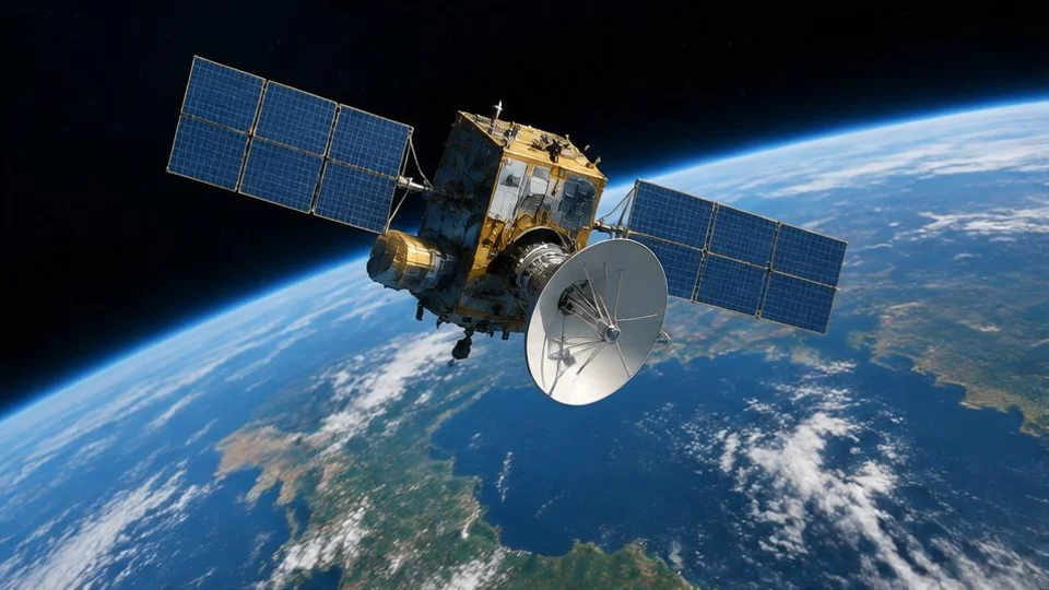
Your phone can place a dot on a map without asking a satellite to look down and find you. Instead, it listens to radio signals carrying precise timing and orbital information, then calculates where it must be. The surprising part is that the receiver’s own clock is not accurate enough to do this directly. GPS solves that problem alongside the location itself. Understanding that calculation also explains why a clear sky helps, why tall buildings cause trouble, and why navigation can sometimes work without mobile data.
Key takeaways
- GPS is the United States’ global navigation satellite system, or GNSS; it is not the name for every satellite navigation system.
- A receiver uses signal timing to estimate distances, then solves for position and its clock error.
- Four or more satellite measurements support a three-dimensional position and clock correction, although reception conditions still matter.
- Receiving a satellite fix does not require cellular data. Downloading maps and sharing your location are separate tasks.
What GPS satellites actually broadcast
GPS satellites orbit roughly 20,200 kilometres above Earth and circle the planet twice daily. Their role is to provide moving reference points whose positions and timing a receiver can determine. They do not photograph your device or wait for it to request a location.
Each satellite broadcasts radio signals containing timing and orbital information. A compatible receiver, whether inside a phone, vehicle or dedicated navigation device, listens for those signals. From the orbital information, it can calculate where a satellite was when the signal left it.
A broadcast, not a conversation
The same broadcast can serve receivers across the area where that satellite is visible. Your receiver does not send its location to GPS satellites, and the satellites do not need to know who is listening.
This distinction matters for privacy: GPS reception itself is separate from an app recording or uploading the position calculated by your device. Location sharing happens through other communication systems, not through a return message to the GPS constellation.
How timing becomes a distance measurement
Radio signals travel at the speed of light. If a receiver knows when a signal was transmitted and when it arrived, the travel time multiplied by that speed gives a distance estimate. Because the satellites are moving, the receiver also needs their positions at transmission, rather than simply where they are now.
The timing information is carried in recognisable signal patterns. By comparing the received pattern with an internally generated version, the receiver measures its apparent delay. That delay is the starting point for estimating how far the signal travelled.
Why the result is called a pseudorange
The receiver’s clock is not perfectly aligned with satellite time. Its measured delay therefore includes a clock offset, along with effects introduced during the signal’s journey. The resulting apparent distance is called a pseudorange: useful, but not yet a clean geometric distance.
As an illustrative hypothetical example, imagine that the receiver’s clock reads slightly late. All the incoming signals appear to have spent extra time travelling. The calculation must separate that shared clock error from the different distances to the satellites.
Why the receiver needs four satellites
A distance from a known point constrains your position to a spherical surface around that point. Another distance adds another constraint. Combining measurements narrows the possibilities until the receiver can identify a position consistent with the signals.
However, GPS is solving for more than a point on a flat map. It needs three spatial coordinates and the receiver’s clock offset. Four or more satellite measurements allow it to solve for those unknowns. Additional usable measurements can help the receiver assess consistency and improve its estimate, though more signals do not automatically guarantee a better result.
Multilateration, not angle measurement
GPS is often described as “triangulation”, but that term refers to finding positions using angles. GPS primarily works from distance-related measurements, so multilateration is the more accurate description.
The geometry still matters. Satellites spread across the sky provide different directions of constraint. Satellites clustered in similar directions provide less helpful geometry, even if their signals are detectable. The arrangement affects how measurement errors translate into position errors.
How a calculated position becomes a map dot
After processing the measurements, the receiver produces a position estimate that can be expressed as latitude, longitude and altitude. A mapping app then places that position on a map. These are related operations, but the satellite calculation does not contain street names, restaurant listings or turn instructions.
Phones may also combine satellite information with other location clues, including nearby wireless networks and motion sensors. Consequently, the dot displayed by an app is not necessarily an unmodified GPS measurement. A smooth-looking dot does not prove that satellite reception is currently excellent.
Software can also interpret a noisy track or relate it to a likely road. That should not be confused with the underlying ranging calculation. As with the applications discussed in how artificial intelligence is changing everyday life, it helps to distinguish a measured input from software’s interpretation. GPS positioning itself does not require AI.
An accuracy circle, when an app supplies one, is best read as an uncertainty indicator rather than a promise about your exact position.
What makes a GPS position less accurate
The receiver is trying to recover timing from signals that have travelled a long way. Both the route those signals take and the arrangement of the satellites influence the result.
Blocked and reflected signals
Roofs, terrain and buildings can obstruct satellite signals. A receiver indoors may have too few usable measurements, while a street lined with tall buildings may expose only a narrow strip of sky.
Signals can also bounce off surfaces before arriving. This multipath reception introduces delayed copies of a signal, making its travel time harder to interpret. A reflected path is longer than a direct one, so treating it as direct can distort the distance estimate.
Atmosphere and geometry
The atmosphere can alter signal propagation, creating timing errors that the positioning process must account for. Corrections reduce some effects but do not eliminate every uncertainty.
Satellite geometry can then amplify the influence of remaining measurement errors. This explains why a receiver may show a position yet still place it noticeably away from where you are standing. A fix is an estimate, not a guarantee of precision.
What works without an internet connection
Satellite reception and internet connectivity serve different purposes. A device can calculate a satellite fix without cellular data, provided its receiver is operating and has usable signals. However, a map that has not been downloaded may fail to appear, and live traffic or location sharing may be unavailable.
Assistance delivered over a network can help a phone acquire relevant information and obtain a position more quickly. Losing that assistance is different from losing the ability to receive GPS. The distinction parallels how the internet actually works: moving information between services is a separate task from measuring satellite signal timing.
A practical observation
Download an offline map, then check your location outdoors with a broad view of the sky and mobile data disabled. Make sure satellite positioning remains enabled. Compare that experience with standing beside a tall building. Depending on your device and surroundings, the position may become less stable near the obstruction. This is an observation exercise, not a controlled accuracy test.
Frequently asked questions
Does GPS tell satellites where I am?
No. A GPS receiver listens to satellite broadcasts and calculates its position locally; it does not transmit that position back to GPS satellites. Your phone or another connected device may nevertheless share location through apps and services. That sharing uses a separate connection and depends on the device’s settings and software.
Can GPS work without a SIM card?
A device with a functioning satellite receiver can obtain a GPS position without a SIM card. It still needs usable satellite signals and appropriate software. Offline maps can display that position without mobile service, while features requiring fresh online information need some other internet connection, such as Wi-Fi.
Why does my location move when I am standing still?
Each position is a fresh estimate based on imperfect measurements. Reflections, partial obstruction, atmospheric effects and changing satellite geometry can shift that estimate even when the receiver is stationary. Your phone’s combination of different location inputs can also affect the display. Small movements of the dot do not necessarily mean actual movement.
Is GPS the same thing as GNSS?
GNSS means global navigation satellite system: the broader category of satellite-based positioning systems. GPS is the United States’ system within that category. A device described as supporting GNSS may use signals from more than GPS alone. The essential idea remains timing signals from known satellite positions to estimate the receiver’s location.
Reading the dot with confidence
A useful GPS fix begins with clear signals, good geometry and a calculation that accounts for clock error. Treat the displayed position as an estimate, keep maps available separately when travelling offline, and remember that receiving a location and sharing it are different operations.
Sources and further reading

Written by
FactNest Editorial Team
FactNest is operated by Muonix. The FactNest Editorial Team publishes general-interest explainers with AI-assisted drafting and illustrations. Contact contact@muonix.co for questions or corrections; we respond within 2 business days.
More from this author →